Global Positioning System (GPS)
Global Positioning System (GPS) is a satellite-based navigation technology
that provides precise location, speed and time information anywhere on Earth with open sky
visibility. GPS receivers use signals from multiple satellites to calculate their position in
latitude, longitude and altitude.
How GPS Works
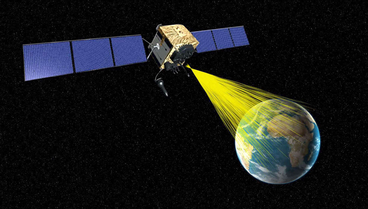
A GPS receiver listens to signals from a constellation of satellites in orbit. Each satellite
broadcasts its position and time. By measuring how long the signal takes to arrive from at
least four satellites, the receiver uses trilateration to determine its own coordinates and
synchronize time.
The result is continuous, real-time positioning that can be embedded into phones, vehicle
units, handheld devices or terminal equipment.
Use in Logistics and Terminal Operations
In logistics and container terminals, GPS is used to track trucks, container trailers,
handling equipment and sometimes containers themselves. Integrated with a TOS, YMS or fleet
management system, GPS data helps to:
- monitor truck arrivals and departures at gates,
- see real-time positions of yard equipment on the map,
- optimize routing inside the yard and reduce empty moves,
- improve ETA accuracy and customer visibility for shipments.
Key Benefits
- Visibility: live location for vehicles, assets and trips.
- Control: better dispatching, route planning and yard management.
- Safety: monitoring of driving behaviour and restricted areas.
- Analytics: historical tracks for KPI, dwell time and utilization reports.
GPS is a core component of modern satellite navigation and tracking solutions, supporting
efficient, data-driven decisions across transport, depot and terminal operations.
“`